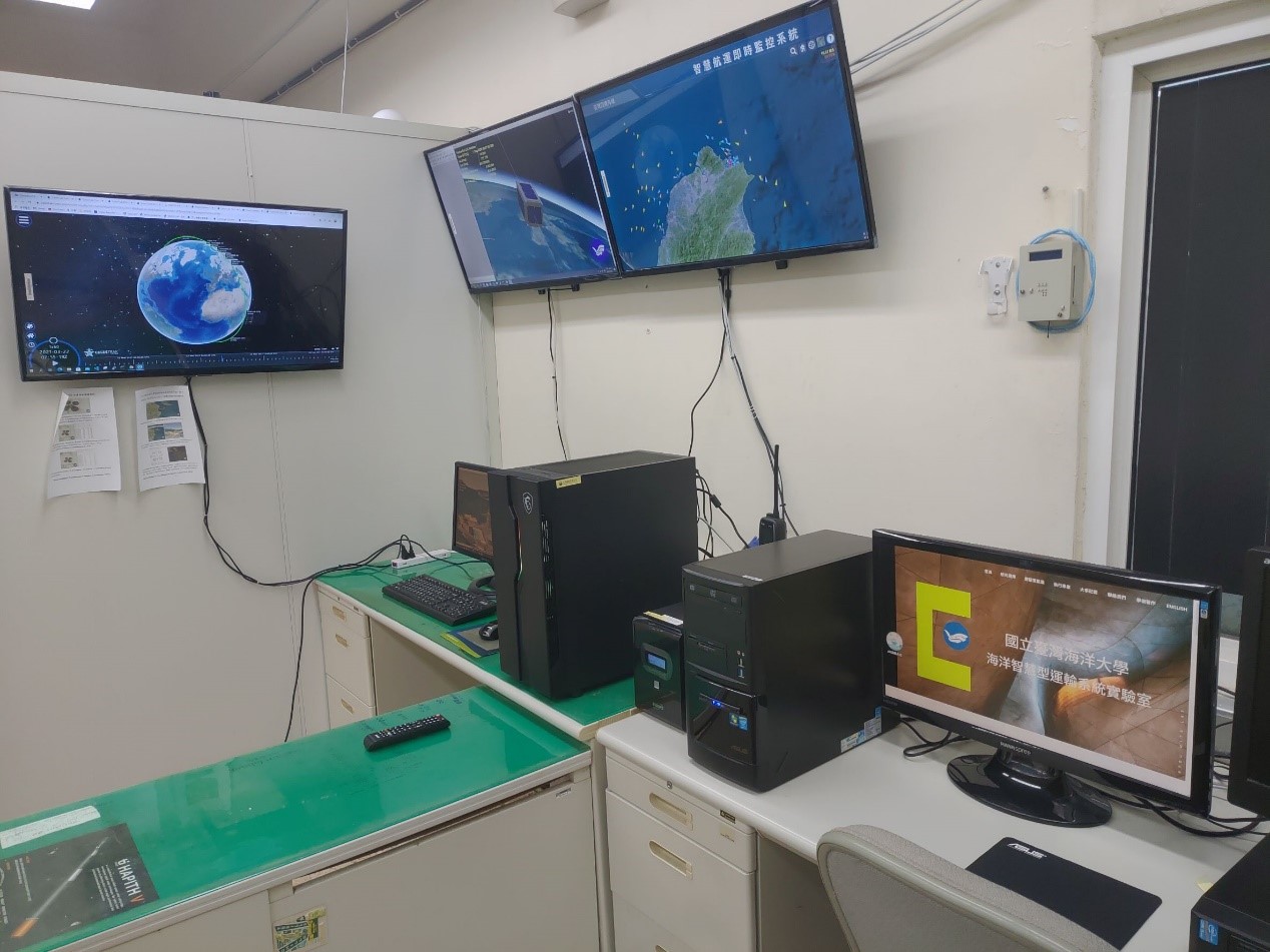
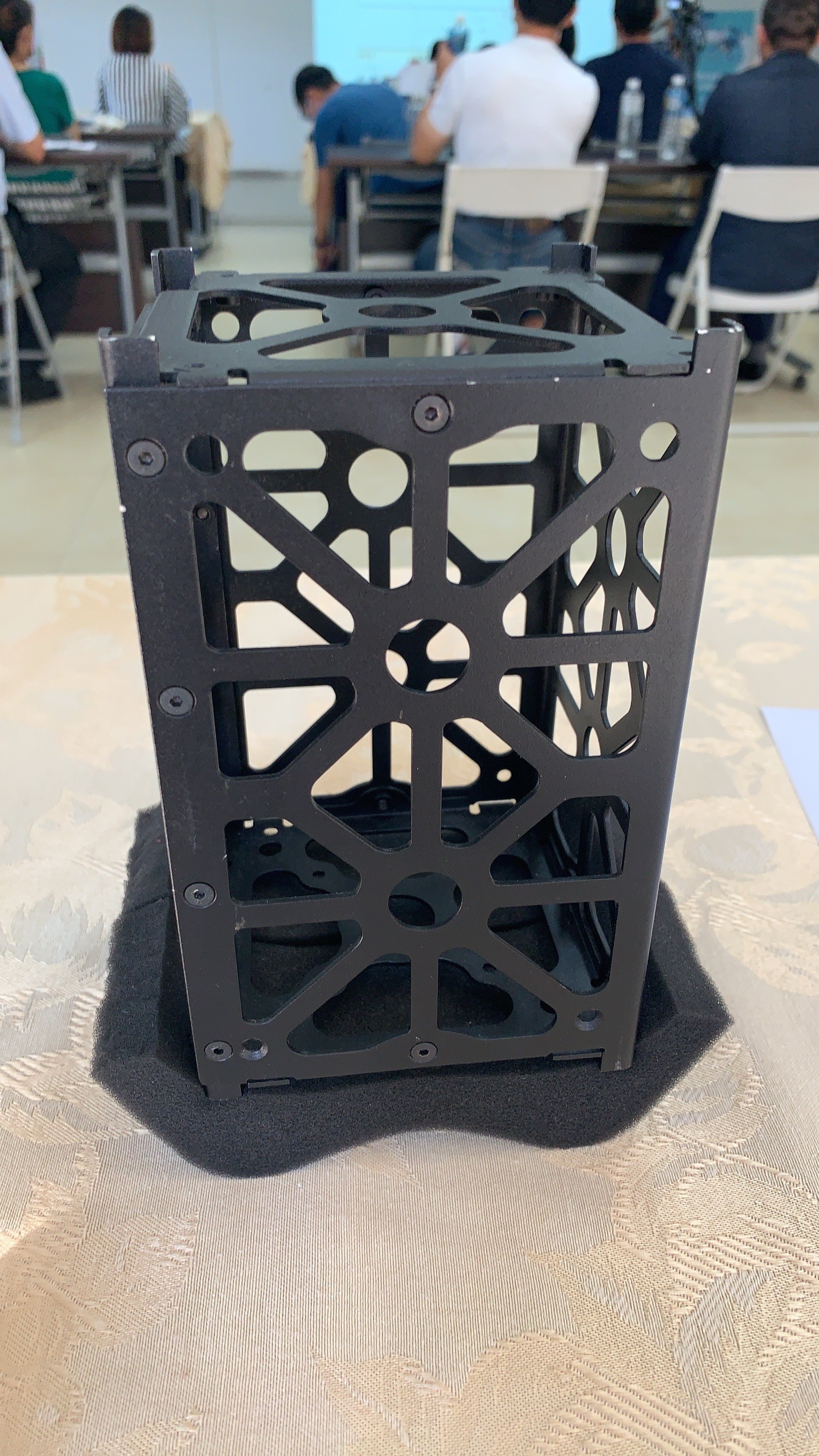
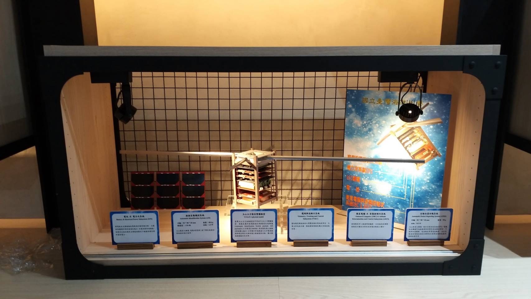
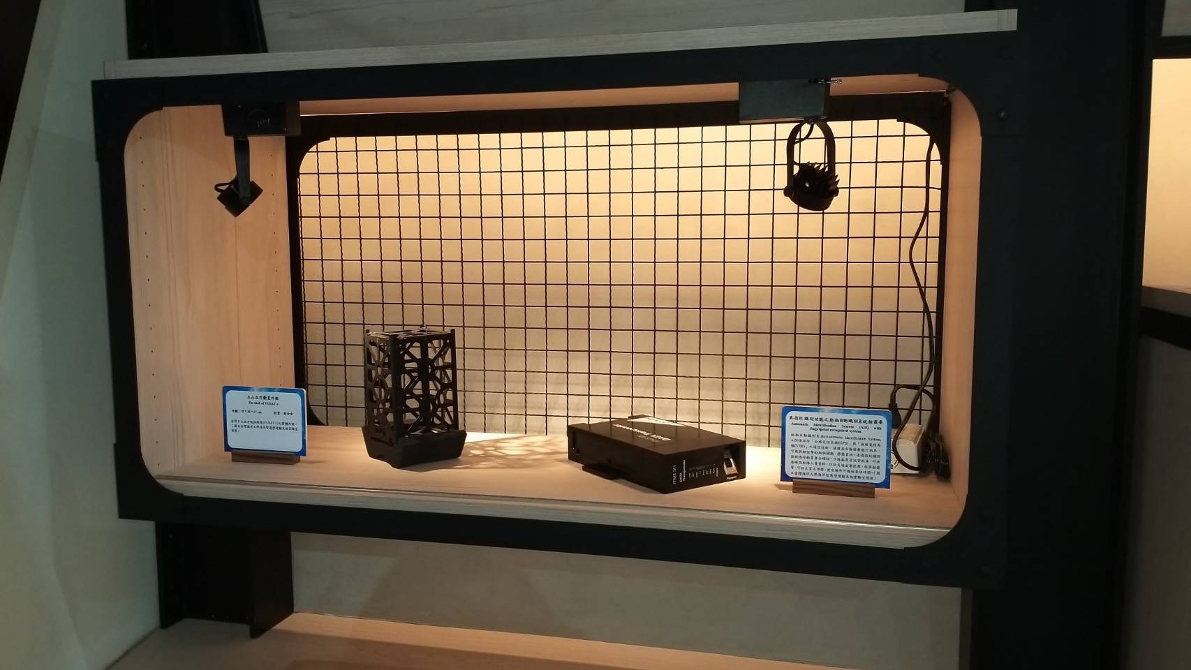
Satellite ground stations are built to receive data from satellites. The satellite ground station of Ocean University is located in Room 1003 of Yanping Technology Building. Its initial function is to receive data from Yushan CubeSat. In the future, it can also try to cooperate with domestic and foreign ground stations to receive data from other satellites.
The data transmitted by the satellite is transmitted by radio since the angle of the receiving range of Yushan CubeSat is different every time it passes through the ground station. In order to obtain the data of the satellite, it is not only necessary to set up an antenna to receive it, but also to adjust the antenna angle when the satellite passes by to receive it smoothly. To this end, not only a Yagi antenna was erected on the roof of the Yanping Technology Building, but also the software in the ground station was used to automatically adjust the antenna when the satellite passed, so as to save manpower during operation.
In order to calculate the time and angle of the satellite passing through the ground station, the ground station of Ocean University uses the software gpredict to calculate the start time, end time, passing angle, etc. of the satellite passing through the ground station through the TLE file. In order to achieve automatic operation, in the aspect of storing satellite signal files, it is through Software Defined Radio (SDR), and use gnuradio to record the radio signals sent by the satellite. After receiving the radio signal, it still needs to be decoded by software before the data can be converted into a form that is easy for people to read.
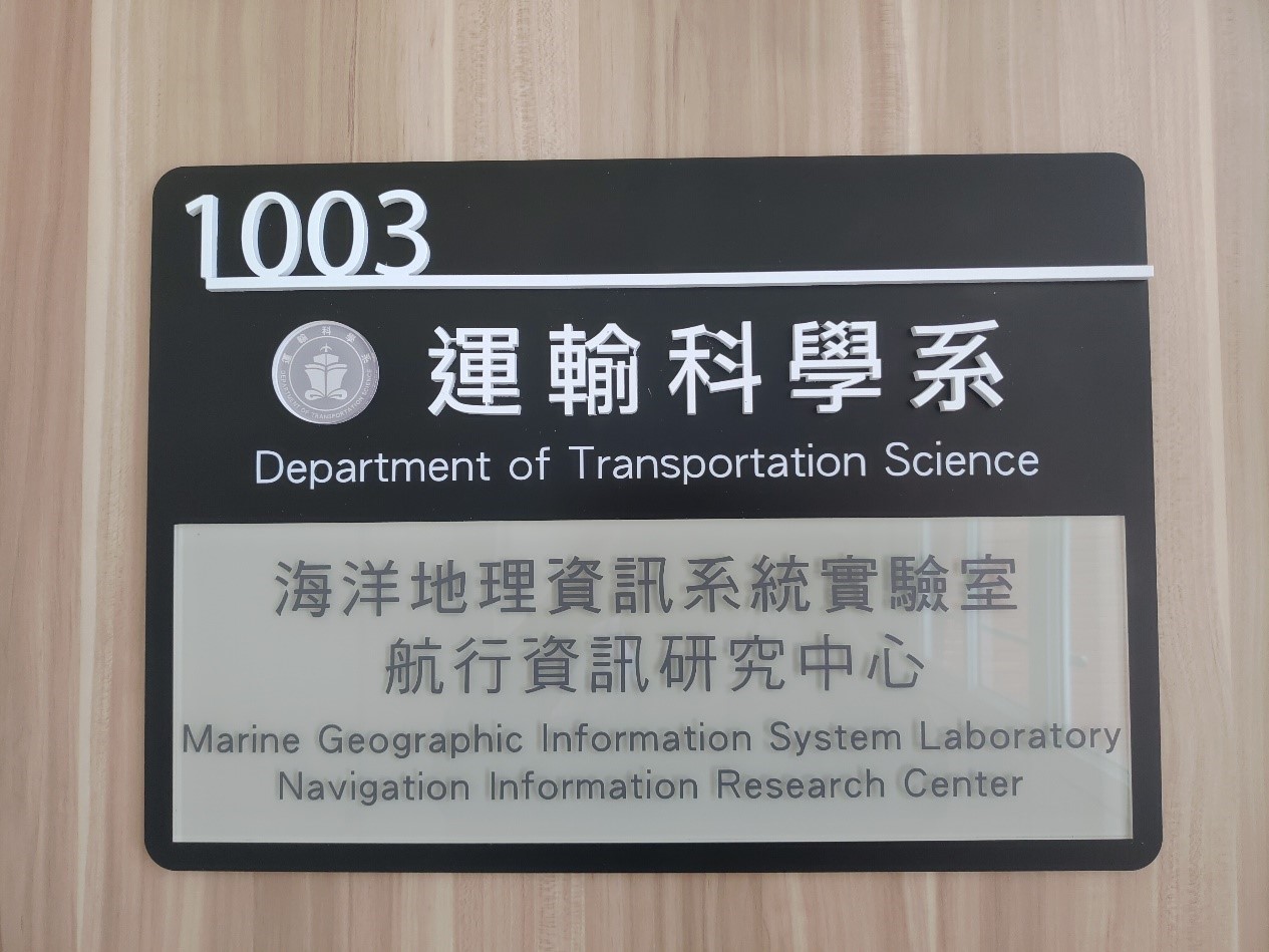
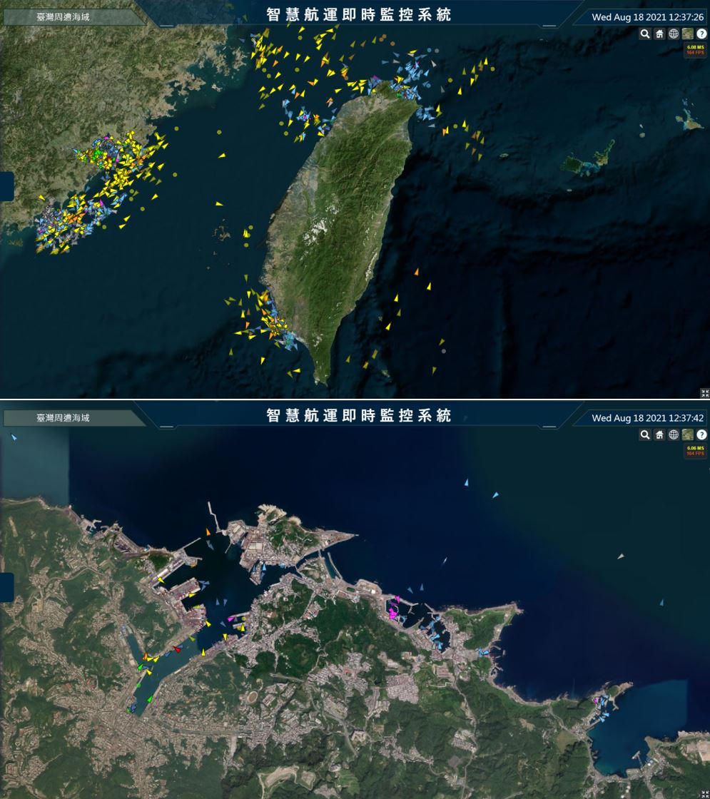
Committed to the development of marine smart ports and transportation technology, as well as 3D modeling research on unmanned systems in fishing ports and reservoirs, using automatic ship identification systems and underwater sonar scanning technology to achieve sea area use management. Research on global ship dynamic tracking and monitoring and investigation of underwater terrain changes.
In response to the trends and norms of the world's scientific and technological trends, with the vision of using smart technology in marine fisheries, combined with our school’s excellent teaching and research resources and technologies, aiming at coastal fisheries, pelagic fisheries, fishery meteorology, and fishery management to conduct research in other aspects, and hope to achieve the goal of sustainable use of resources.
Focus on the research of cubic satellites, digital communication systems and space telemetry, and develop and design sea area monitoring systems that use cubic satellites to carry optical lenses and automatic ship identification systems to create a global new world synchronized with the world The generation of maritime satellite communication system can effectively monitor the dynamics of ships throughout Taiwan and the world, and improve the safety analysis of maritime navigation and the identification rate of ships in distress at sea.
To study the development of hydrogen fuel as a green energy and energy storage system to replace the electricity generated by the current use of fossil fuels by ordinary and unmanned vehicles, which can reduce air pollution emissions and carbon dioxide's environmental impact The impact of this, combined with Taiwan’s coastal wind energy units, has created a green energy environment in my country, which promotes the source of electricity to meet higher economic benefits and achieve the vision of sustainable operation.
It is dedicated to the research of smart transportation systems in the ocean, harbor and coastal areas, and uses artificial intelligence, unmanned vehicles, block chain and other Intelligent technologies to make adjustments through training and new data. At the same time, it uses Big Data to analyze and forecast, and carry out effective sea area management or emergency accident prevention.
Based on the technology framework of Cyber-physical System (CPS), the Internet of Things (IoT) Technology Group integrates multiple IoT sensing technologies such as RFID, WSN, 5/6G, edge computing, cloud big data exploration, blockchain, multi-dimensional geographic information platform, and decentralization AI to bridge the physical and virtual world to realize the "digital twin" design standard, and use the "digital twin" to facilitate the development of various system engineering standards related to remote monitoring, telemetry, and preventive maintenance. Adopting the aforementioned advanced technologies, the IoT Technology Group further studies and develops various AIoT systems regarding smart ports, smart shipping, intelligent unmanned vehicles, smart transportation and logistics, and green supply chain related applications.